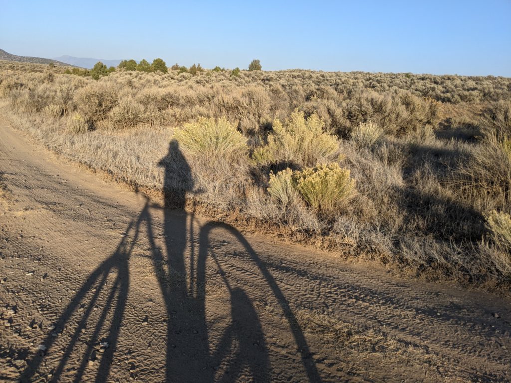
Covid times are still great times for trail riding. The only problem is that so many people seem to agree and the signature trails around Taos are more crowded than ever! Popular rides like the Talpa Traverse (best dump-to-dump ride on Earth!), Rift Valley and mighty Divisadero will likely bring you in close contact with more hikers, runners, horseback riders and other bikers than normal.
Not great if you’re seeking a sweet, uninterrupted flow session or want to practice social distancing without having to do that awkward trailside tango.
So in the interest of spacing things out a little bit more and getting to know the almost endless possibilities in shredding in solitude around Taos County, here’s five rides that are likely to be devoid of both crowds and much snow as we head into the end of the season.
Let’s start it off with a warm-up. This easy, mostly two-track trail is a continuation of the West Rim Trail on the south side of NM 567. The trailhead can be found on the side of the road right before it begins its hairy descent down into the Rio Grande Gorge. This quick little out-and-back is mostly flat with a few dips into broad arroyos and great views the whole way, capped off by a chance to stand at the edge and stare down into the terminus of the Arroyo Petaca, which archaeologists say has been a highway for humans going back 10,000 years. Here’s all the details.
Vistas de Questa
It’s truly crazy how little this fun complex adjacent to the Wild Rivers recreation area within the Rio Grande Del Norte National monument gets visited. There are technical, rocky climbs/descents from/to a lonely trailhead on the east side of Guadalupe Mountain just north of Questa, more challenging spurs to the north, flowy sections through the trees and sage lands on the west, and easy connections to be made to beginner gravel trails at Wild Rivers, plus a completely ignored rowdy connector down to the Red River Fish Hatchery. Check it out on Trailforks or MTB Project.
DH Lawrence Loops (Chatterly and Frida)
The secret is slowly getting out. This new, ripping little trail complex offers fun, flowy action above, around and often across a series of arroyos just south of the road to the DH Lawrence ranch. It’s probably best accessed from a pull out on the west side of highway 522 that will require a little stroll under the highway. You won’t find any signs out here, so look out for the cairns and definitely take a look at our GPX file before you go.
Capulin / North Boundary / Carson Hotshots base
Another area that I can’t quite believe I have to myself most days is just 5 miles east of Taos in Taos Canyon via US 64 and Shadow Mountain Road. About a mile up the road you’ll find the marked trailhead for North Boundary Trail, which begins with 5 miles or so of intermediate two-track riding, but then abruptly turns into 5 miles of the most underappreciated single-track in the area, including some serious technical sections. As if that weren’t enough, NBT ends near the top of Divisadero, allowing you to add a challenging desert descent to your day. But it you want to avoid the crowds, take the unmarked right at this fork. This is the so-called “hotshot” trail that will lead you down a just slightly less gnarly descent to the base of the Carson Hotshots wildland firefighting crew. The flatlands around the base also have some trails through the pinon and juniper that make for a fun cool down after so much excitement.
For something a little less dramatic, there is a second, unmarked trailhead about a mile beyond the NBT start on Shadow Mountain Road. A turn off to the left offers room to park and leads to a gated two track trail that connects to the Capulin loop. This scenic 5-mile cruise through the trees is easy/intermediate. Making the turn towards the Fa Yun Monastery leads to yet another gated trailhead and even more fading two-track to explore. Just be sure to be bear aware!
Bear Wallow ridge
This is the one I hesitate to share. Located off NM 518 near the more well-known Trail 18 and just before the Pot Creek ruins site, the climb up the ridge is a tough one, that can easily be turned into an epic trip if you want to follow it all the way into the high country and eventually link up with the South Boundary Trail. I don’t recommend trying such a thing without lots of water, maps and familiarity with the area, however. Instead, Bear Wallow can be done as a loop, starting near the east end of Trail 18, where a fork to the north begins a long, challenging climb up past the ruins of an old sawmill and eventually to a rip-roaring descent back down to Trail 18 or NM 518. Much of the trail is old two-track fading into single track, but some spurs to the right on the descent offer a couple miles of a more narrow, jump-laden trail that will take you back to days of yore trying to land your Huffy in style. (Here’s a GPX. You’ll want to use it, as this trail is unmarked with plenty of opportunities to get lost).